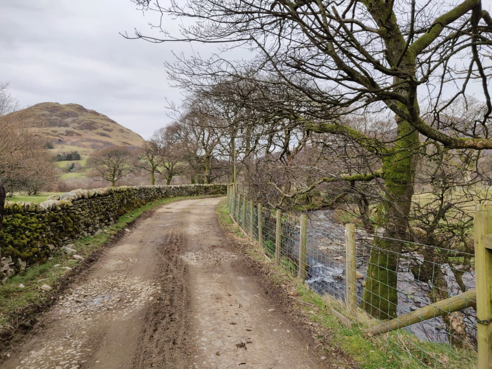
In a quiet corner of the Western Lake District, this circular route climbs one of the lesser known Loweswater fells. Starting just outside of Loweswater Village, the route runs alongside a stream and through High Nook Farm before climbing across open moorland to reach the summit.
Start and End Location: Maggie’s Bridge National Trust car park
Start Postcode: CA13 0RU, approx. only. When approaching Loweswater village from the south, take the left hand turning approximately 200 metres after the village hall. Maggie’s Bridge car park is at the end of the lane.
Distance: 7.2km
Time: 2.5-3 hours
Facilities: The Kirkstile Inn is a short stroll from the car park.
GPX Download: Link below map
Grade: Easy Mountain Walk with a few faint paths so good navigation skills are needed.
From Maggie’s Bridge car park, take the left hand path, signposted for High Nook Farm.
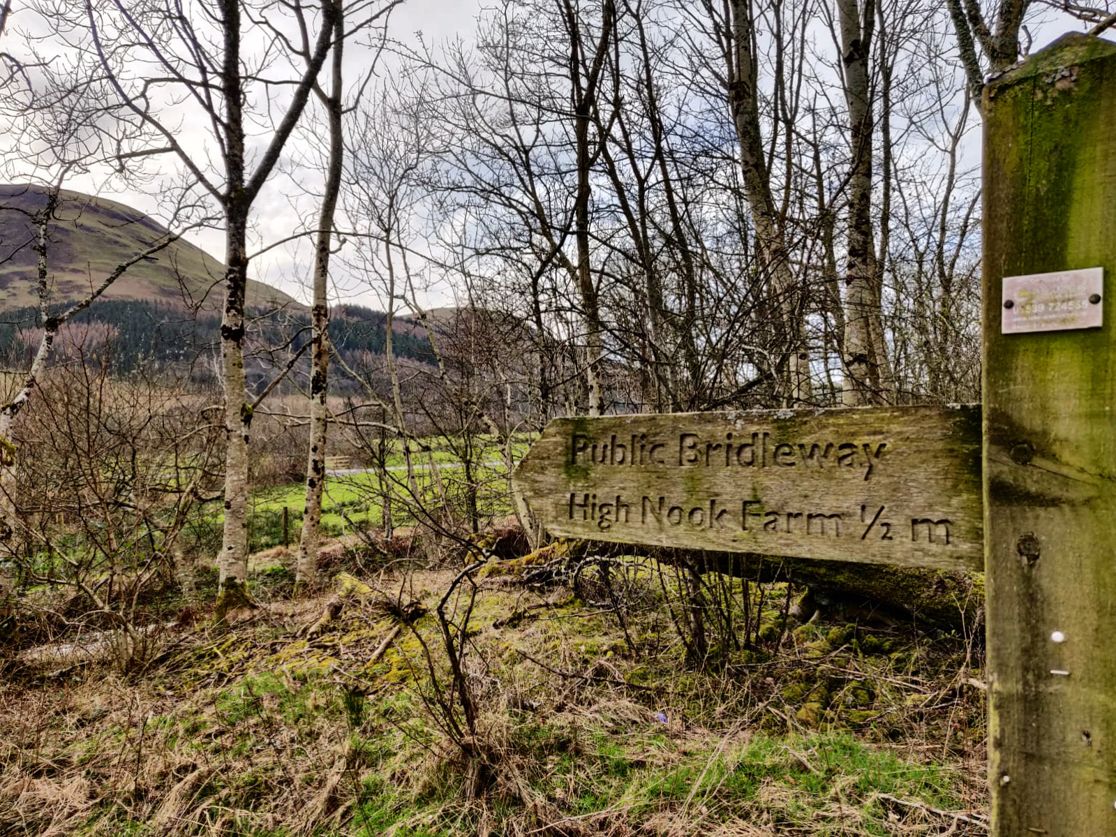
The gravel road runs through farming fields and alongside Highnook Beck to reach High Nook Farm.
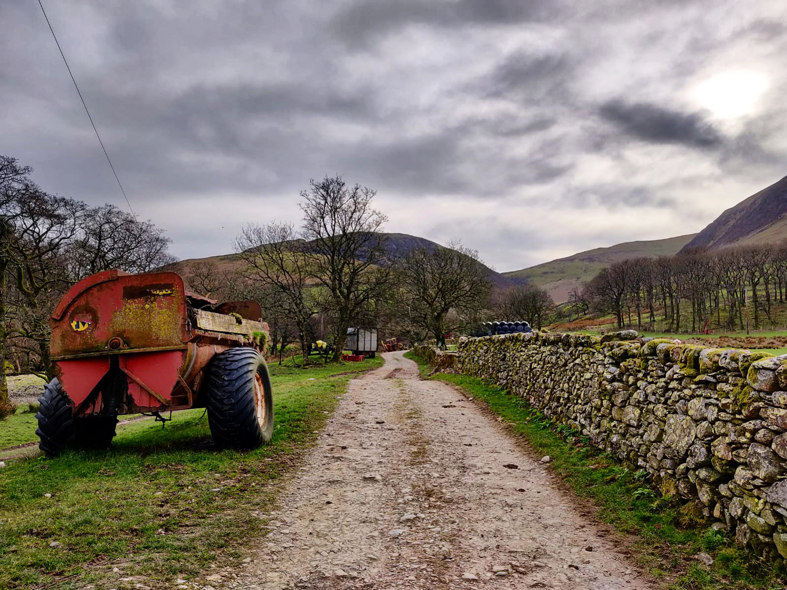
Continue straight ahead between the farm buildings and bear right to go through the gate. Follow the wide, rocky path uphill and go through the next wooden gate.
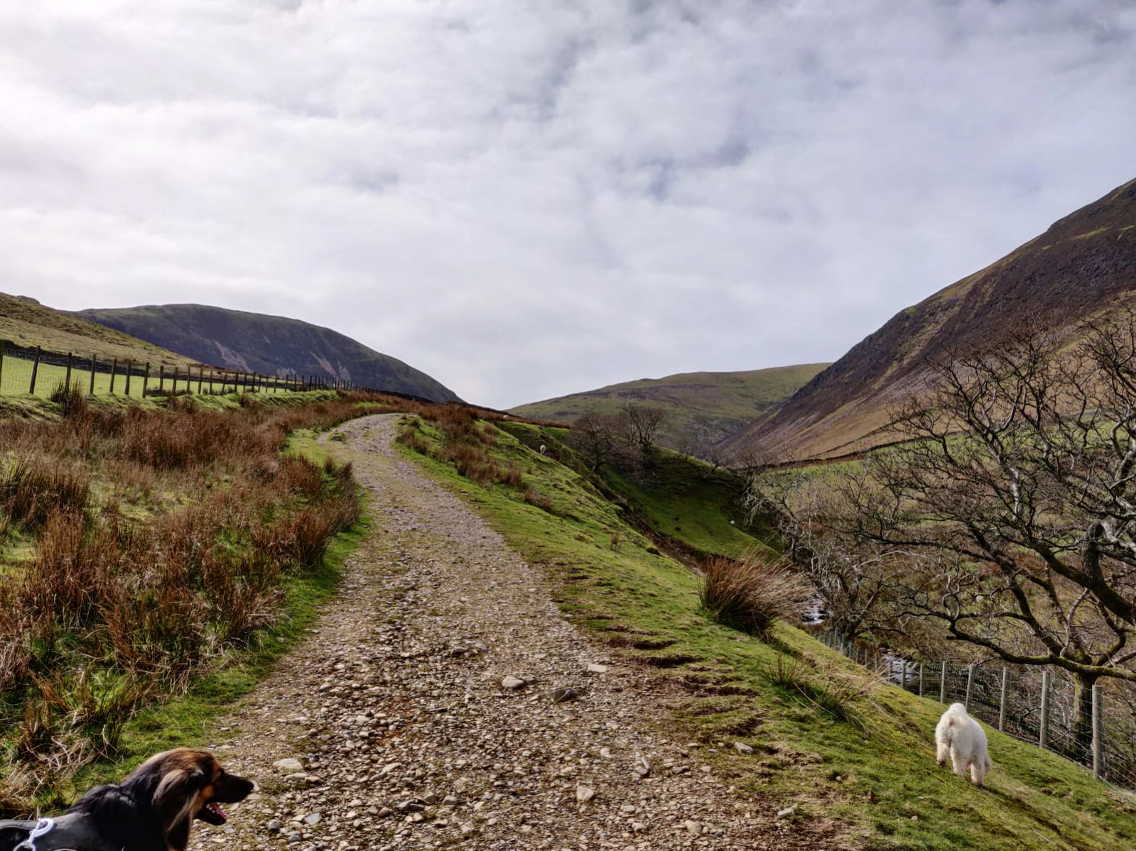
Take the left hand fork to climb the grassy path uphill, with great views back across the fells.
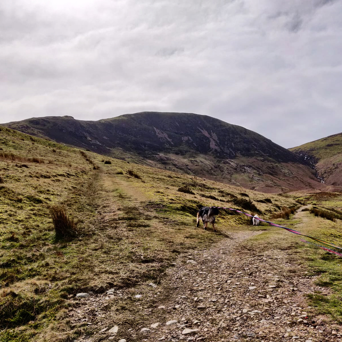
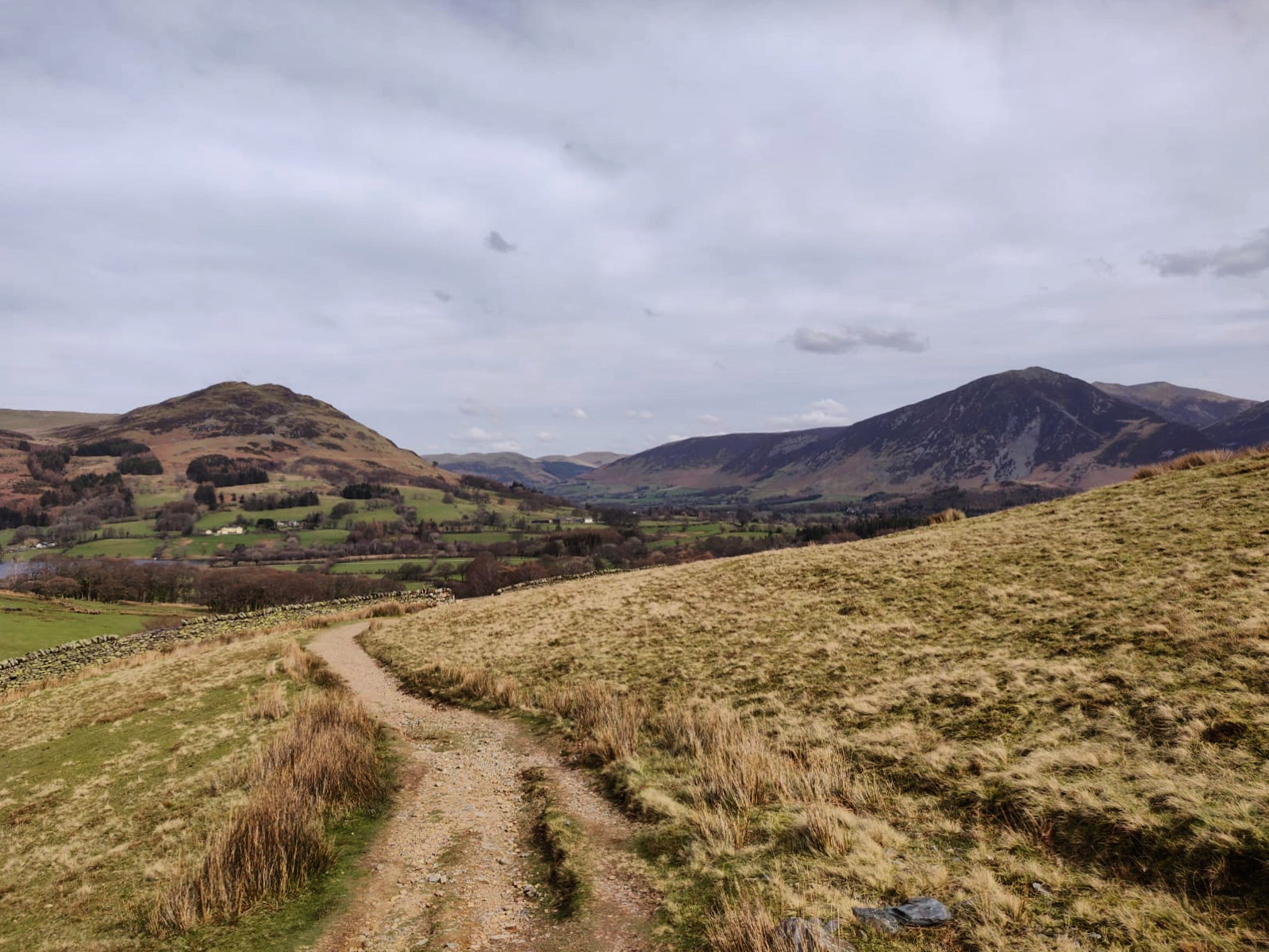
Turn right to follow the very faint path towards Black Crag.
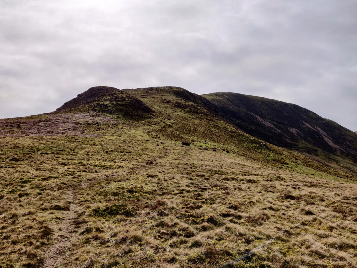
The path, which becomes increasingly more well-defined, climbs across the moorland with brilliant views of Grasmoor behind.
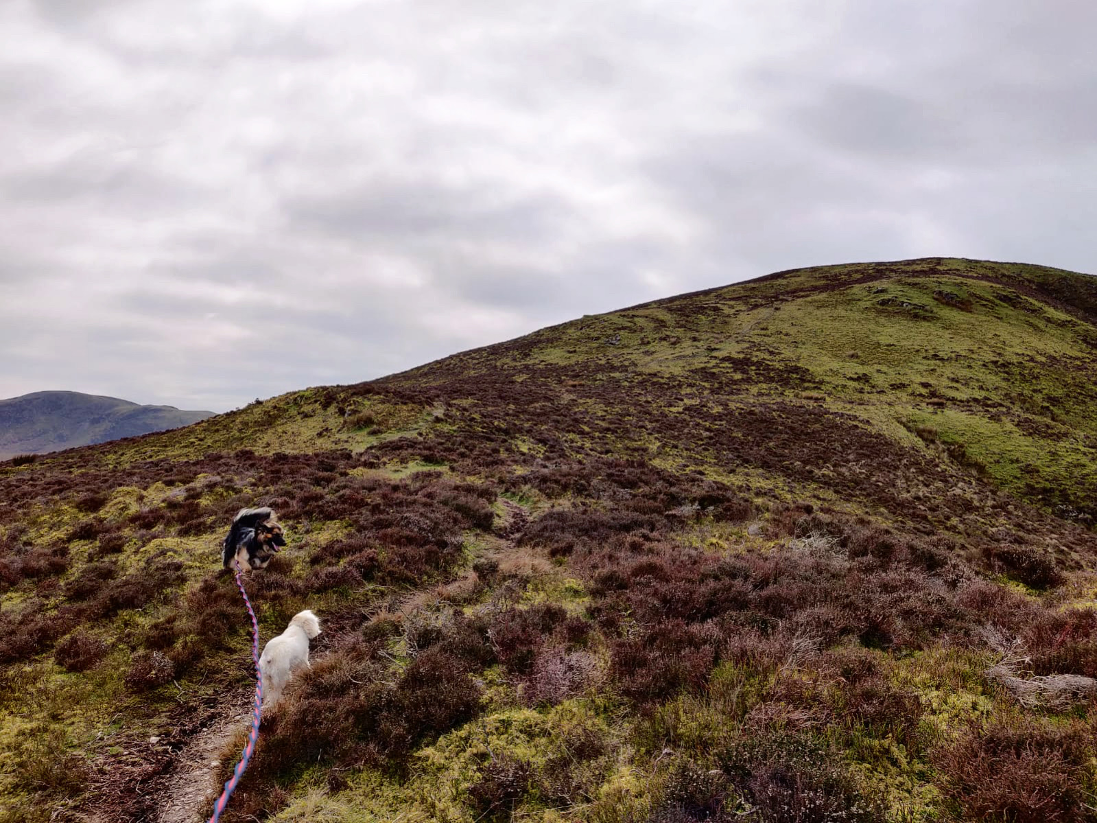
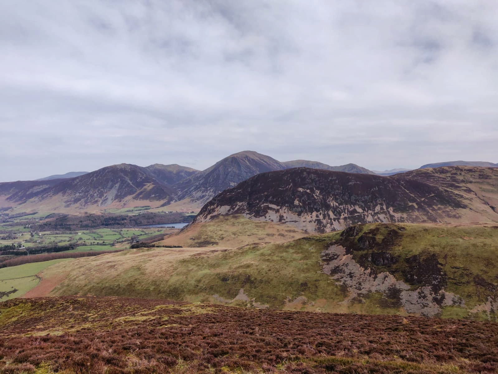
The path eventually reaches a large cairn and then begins a short descent before climbing again across the heather to reach a fence line.
Go over the fence and turn left to the summit of Gavel Fell, which is marked with craggy rocks.
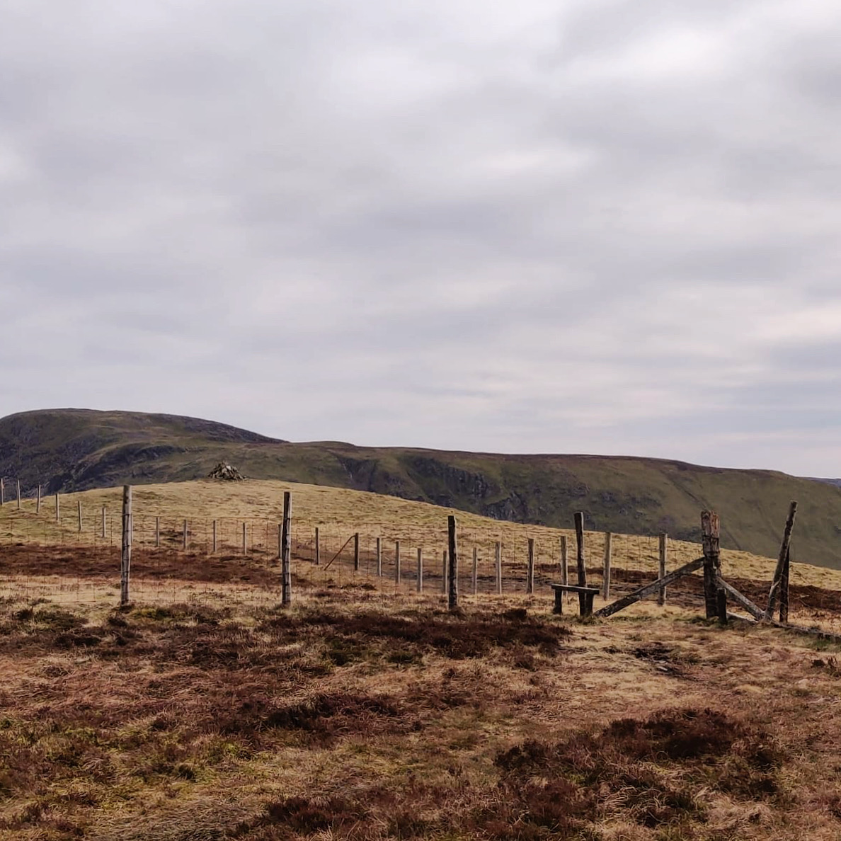
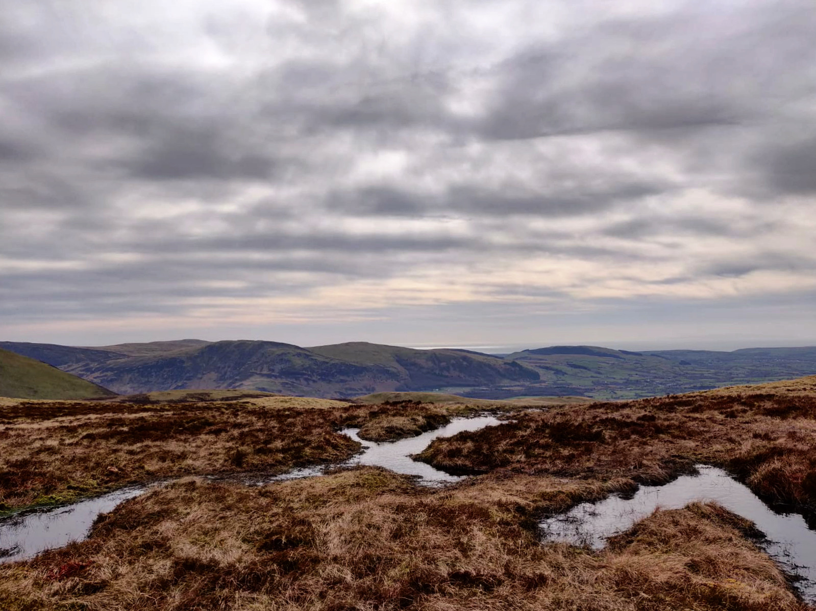
Retrace your steps for a few metres and, keeping the fence on the right, follow the wide path to descend across the (often boggy) moorland. There are great views down to Ennerdale and out to the coast.
After approximately 700m, take the narrow, right hand grassy path. Keeping Highnook Beck gully on the right, follow the path as it zig-zags downhill towards the sheepfold and small tarn.
If you want to extend the route and bag another summit, ignore the right hand turning and continue straight ahead to climb to Blake Fell summit. Retrace your steps downhill to the junction and turn left.
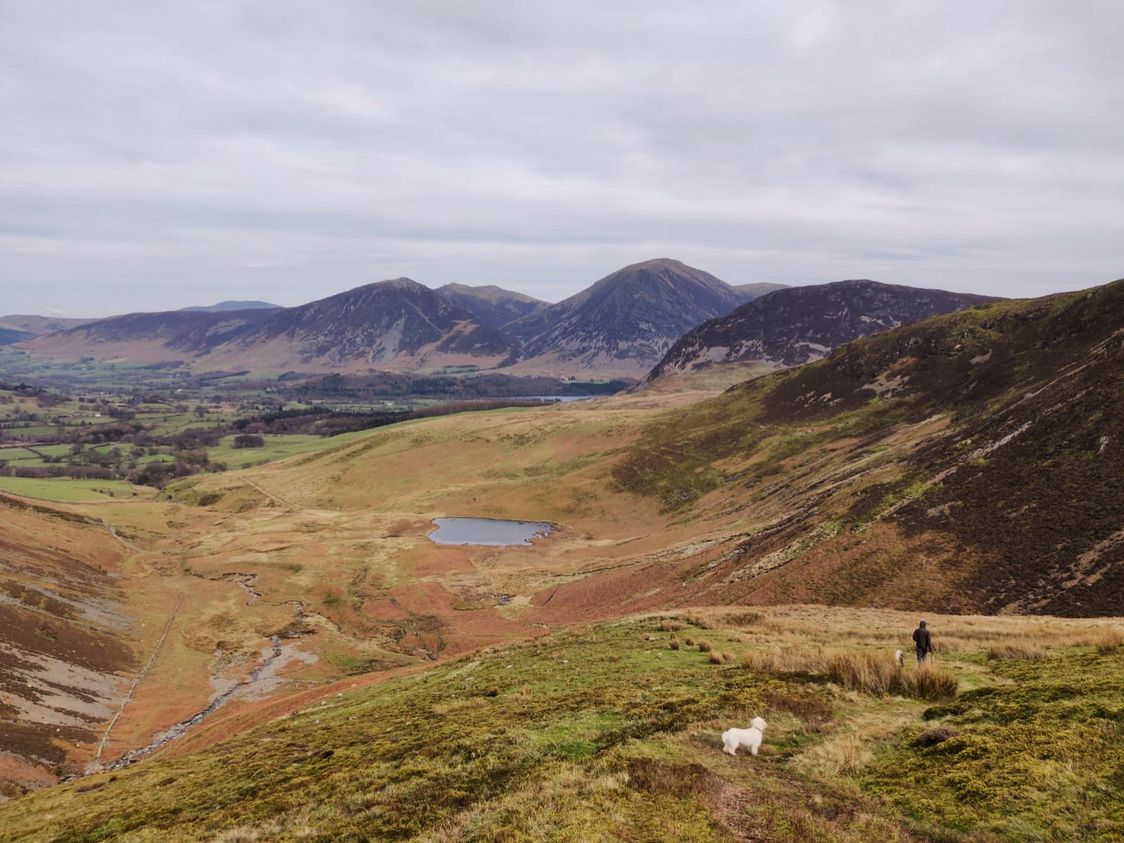
At the bottom of the valley, use the stepping stones to cross the river and, keeping the river on the left, continue straight ahead to join a wide farm track and on to a wooden gate.
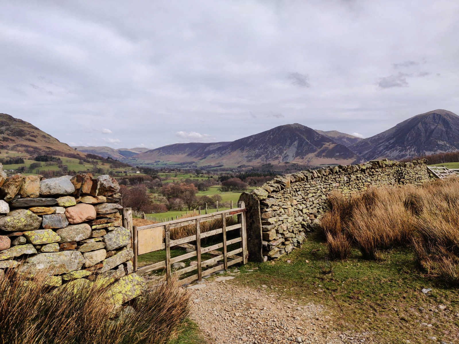
Go through the gate and retrace your steps through High Nook Farm and back to the car park.
