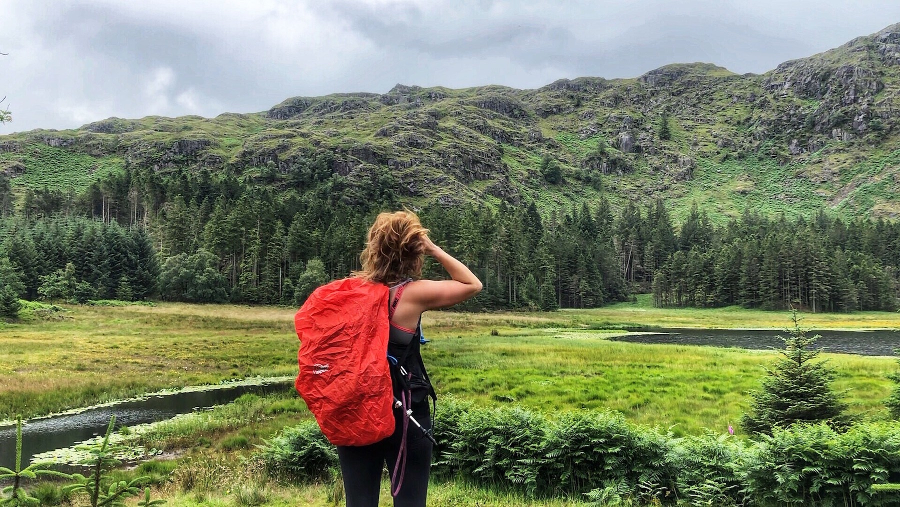
Rather than the standard Thirlmere Reservoir circuit, this walk follows the quieter west shores of Thirlmere and then climbs to the secluded Harrop Tarn. The path down from the tarn offers wonderful views of the reservoir and the Helvellyn range.
Start and End Location: Armboth Car Park on the west shore of Thirlmere
Start Postcode: CA12 4TW
Distance: 9.2km
Time: 2.5 hours
Facilities: Public toilets in Armboth Car Park and Dobgill Car Park. Both toilets are currently closed for a refurb (August 2019)
GPX Download: Link below map
Grade: Medium lake walk with a few uneven paths.
Take the footpath at the south edge of the car park, signposted for ‘Thirlmere loop Lakeshore path’.


With the reservoir to the left, the path runs through woods and alongside picturesque stone beaches.


At the junction, turn left, following the sign for Dobgill.

Continue through the trees, with great views of the northern tip of Thirlmere and Deergarth How Island.

The path narrows and keeps following the treeline. After a short climb, the path reaches a wooden gate to the road. Turn left and immediately go through the second wooden gate. The steps climb to a bench and a small viewing point.

Retrace your steps to the road and turn left, following the road only for a metre or two.
Turn left through the wooden gate, following the direction of the signposts.

The very uneven and often overgrown footpath continues for approximately 1.3km before turning right to Dobgill car park.

Go through the large wooden deer gate on the left side of the car park.
The path climbs towards a dry stone wall.

Continue straight ahead, zig-zagging up the hillside, with the waterfalls on the left.

The path levels out and the trees clear just as Harrop Tarn comes into view.

Turn right and follow the wide forestry track.
At the junction, bear right, staying on the wide track.

Continue straight ahead, following the direction of the yellow arrow signposts.

Go through the wooden gate. The path gently weaves down the hillside, with great views of Thirlmere.

Continue through the next gate and go straight ahead, following the track as it bears right.
The track eventually reaches the road.
Turn left. The quiet road leads back to the car park.
