I’m always surprised that this walk isn’t more popular. The majority of the path follows well marked, high-level ridges, with incredible views across to Skiddaw, Blencathra and the Scafell range.
Start and End Location: Braithwaite village. Street parking is available and there are parking lay-bys on the B5292 heading west out of the village.
Start Postcode: CA12 5SY
Distance: 15km
Time: 6 hours
Facilities: A few pubs and cafes in Braithwaite
GPX Download: Link below map
Grade: Medium/Hard Mountain Walk – the navigation is fairly straightforward but there are a few steep ascents and mild scrambles. The route follows high-level ridges so should not be done in poor visibility or strong winds.
After parking in Braithwaite, follow the main road (B5292) west towards Whinlatter Pass. Follow the road as it bears right uphill. Turn left in to the small car park. Ignore the left hand track leaving the car park, next to a sign for Force Crag Mine. Instead, take the right hand path just inside the car park entrance; the start of the path is often slightly hidden by trees.
The path leads up through the woods, gradually bearing left to open moorland, with views back across Keswick and Bassenthwaite Lake.
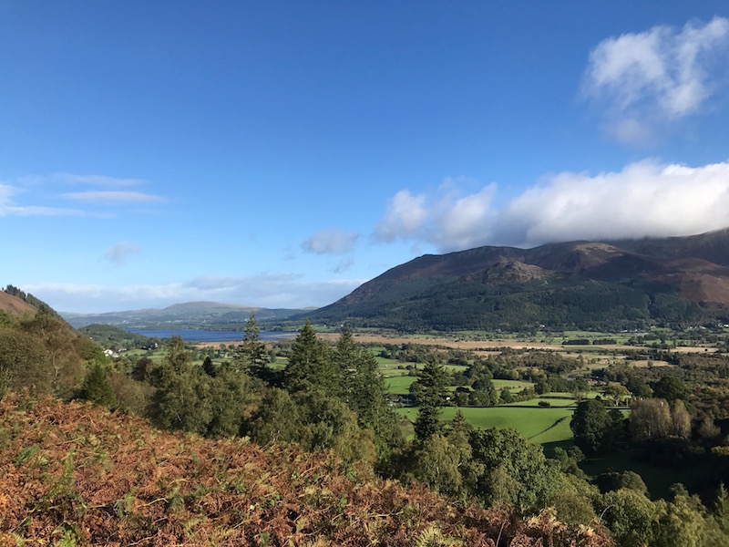
Cross the stile and follow the well-marked track as it bears right and steeply climbs the grassy bank. If the weather is clear, you’ll see Grisedale Pike looming ahead and spectacular views down to Keswick and across to Skiddaw.
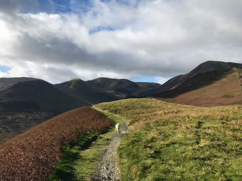
The path becomes increasingly steep and rocky; there are a few mild scrambles to reach the summit.
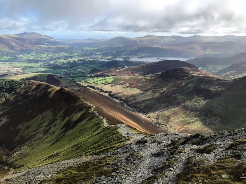
From Grisedale Pike, continue straight on, heading in a south-west direction with stunning views of the Scafell range to your left. The path is well marked and gradually bears right along the edge of the cliffs toward Hopegill Head.
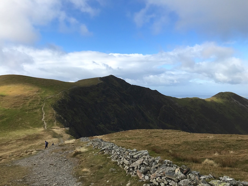
From Hopegill Head, ignore the path heading straight on and instead turn sharp left. The gravel track heads south/south-east and after a short climb, drops downhill across loose scree.
As the path begins to climb steeply, take the right hand fork. Keeping the stream on your right, follow the stone track between Grasmoor and Crag Hill.
At the junction, turn left and climb to Crag Hill. The path is very clear and there are a series of cairns along the edge of the path to help mark the way.
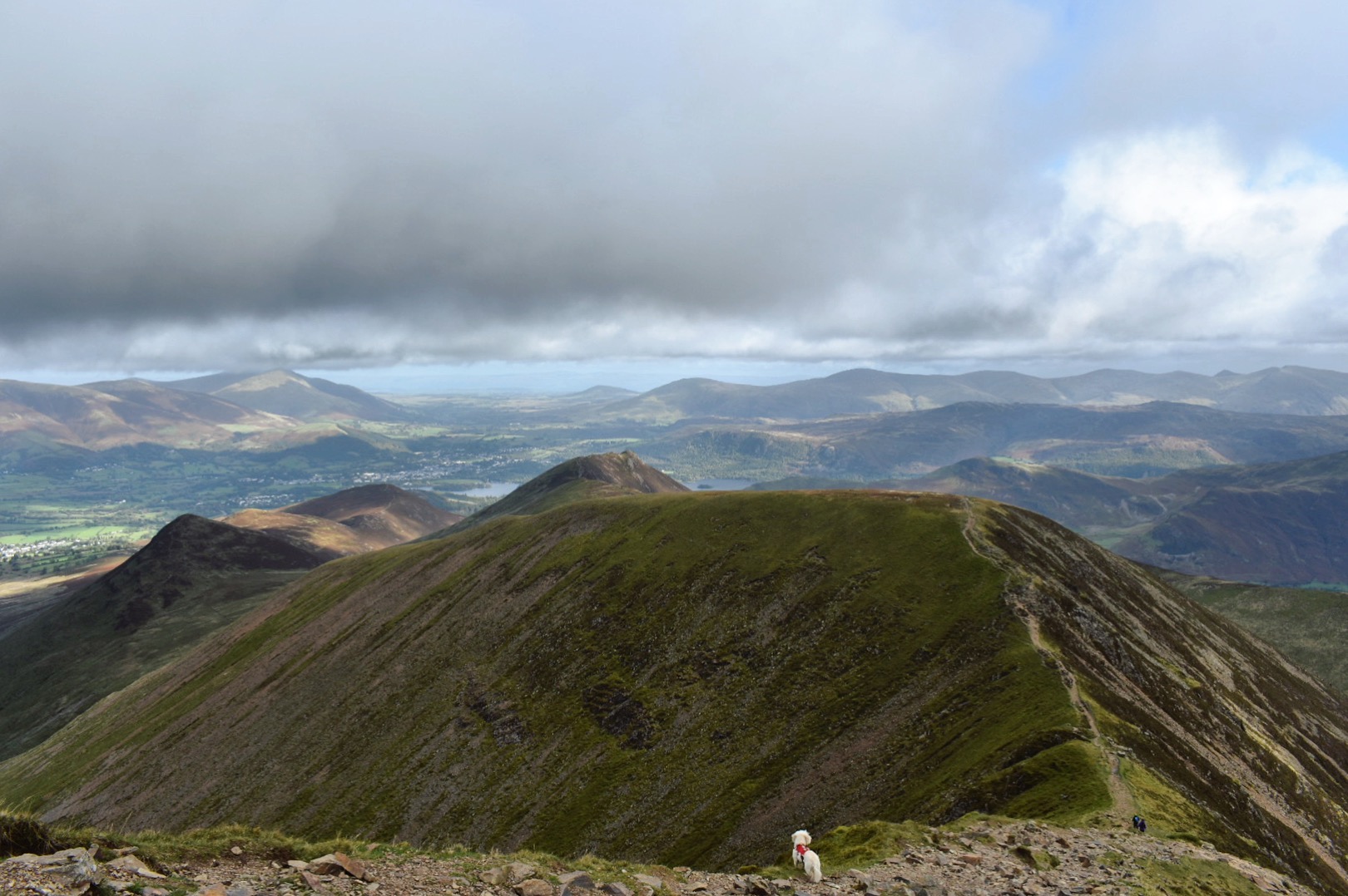
From the summit, head east/south-east. Continue over rocky terrain, dropping down steeply before climbing to the summit of Sail.
Head east down the wide, main gravel track. The track gently zigzags down the hillside to reach a crossroads.
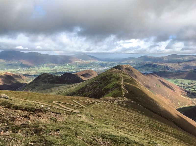
Turn left and follow the narrow path across the side of the valley.
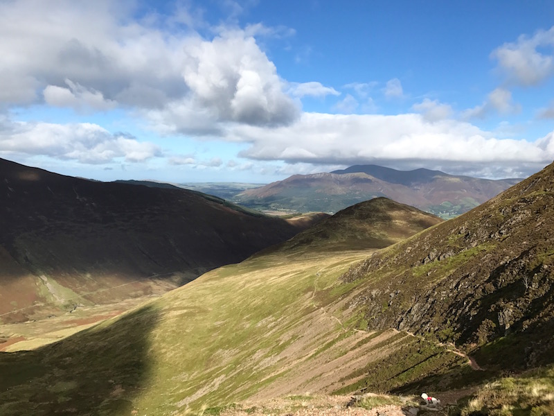
The rocky track widens as it reaches flatter ground and continues across moorland.
As the track begins to bear right downhill, take the path on the left through the heather, shown by the dog in the below picture!
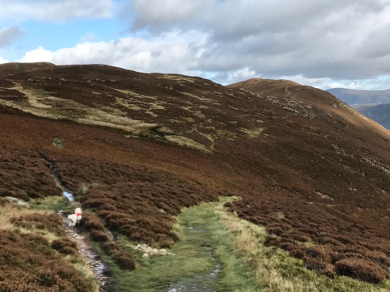
The muddy path weaves across the moorland, bearing right, to the base of Stile End. At the junction, turn left and continue north-east towards Braithwaite. The path widens into a grassy track and eventually merges into a concrete road to reach a metal farming gate, with a wooden kissing gate to the right. Go through the kissing gate and follow the road down to Braithwaite village.