The Saas Fee to Grächen Hohenweg route is one of my all time favourite hikes. The path is long, steep and tough going but once you climb above the tree line, the views are unforgettable. As this is a fairly remote hike, you’ll encounter Ibex roaming along the narrow pathways and if you’re lucky, you’ll have the mountains to yourself for hours on end. It’s the Swiss Alps at its best.
Start Location: Tourist Office in Saas Fee, Switzerland
End Location: Grächen
Distance: 16km
Time: 8-9 hours
Facilities: At the start and end location only
GPX Download: Link below map
Grade: Hard Mountain Walk with scrambles over loose boulders and exposed, very narrow pathways.
From the Tourist Office, follow the road to Wildi, the north area of Saas Fee.
The road merges into a track and continues through woodlands. At the first clearing, the path bears left. Continue upwards and slightly left to reach Barefalle. Keep following the signs for Grächen as the path zigzags through the woods.
As the path emerges from the tree line, bear right, cross a few streams and continue through a tunnel.
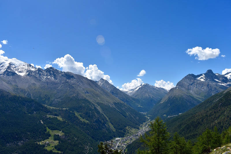
Keep following the path as it bears left. The views here, across the mountains and down back to Saas Fee, are superb.


The well defined path continues around the edge of the mountains, with snow-capped summits in every direction.


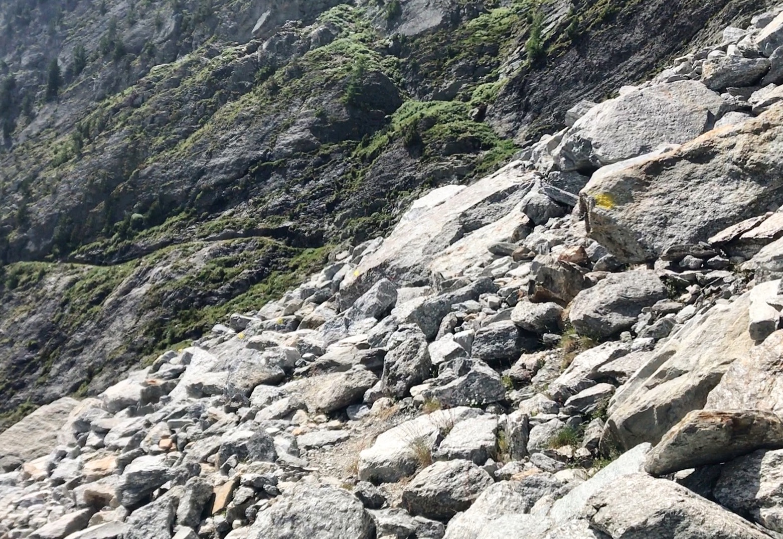
After bearing right, the path reaches a hillside of loose boulders. The boulders are marked with faint yellow paint to help show the way. Many of the rocks are loose so carefully scramble across.

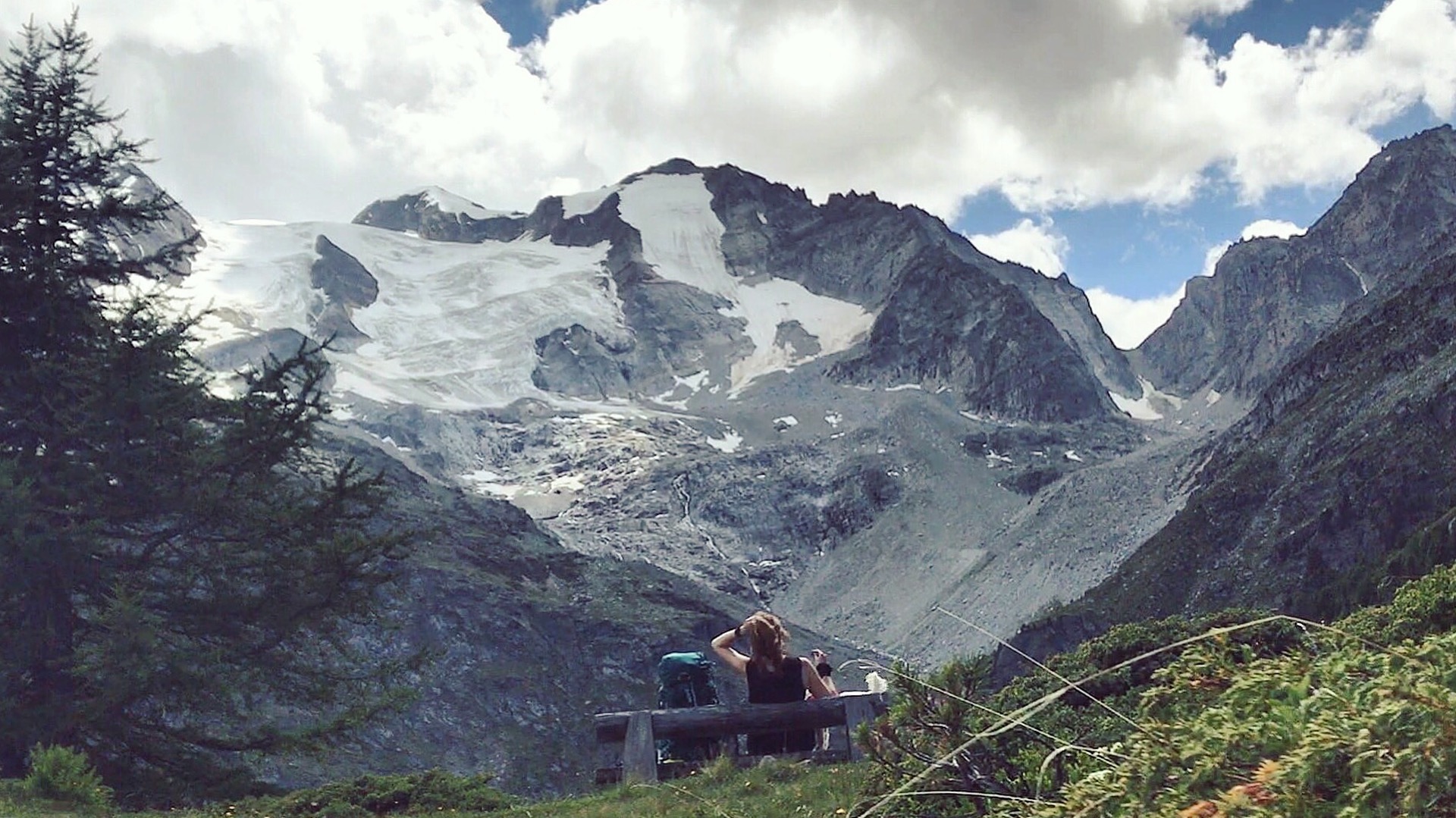
The path continues to climb and eventually enters a woodland. After a steep climb, a bench on large flat, grassy area comes into view. This area is away from the edge of the cliffs and a good, safe place to rest.

Becoming increasingly narrow and exposed, the path hugs the edge of the cliff until a second bench on a flat, open area is reached. The path bears to the left and becomes even narrower; there are often cables or handrails to help.
Signs attached to the cliffs warn of the danger of falling rocks and there are no safe places to rest here. After passing through a short tunnel, the path bears right. If you’re lucky, you may spot a few Ibex in this area.
The path soon reaches another section of loose boulders. Again there are faint paint marks to help you scramble across. Straight after the boulders, cross a small stream and follow the path as it steadily drops, with an occasional ascent. When the path reaches the river, cross the large wooden bridge and continue straight on into the woods.

Continue until the woods clear. Passing a picnic area to the right, continue downhill towards Hannigalp cable car. Turn right and follow the path downhill. Just as the path seems to disappear, follow it sharp left into the forest. Zigzag down through the woods, keeping left at any forks and following signs for Grächen. After approximately 30-40 minutes, a narrow stream is reached. Cross the stream and turn left.
The path emerges from the forest and joins a large track. Continue down this track, passing Hotel Zumsee and lake on your left. A few hundred metres after the hotel, take the road on the right and continue to Grächen.