This variant of the Newlands Horseshoe climbs Cat Bells, Maiden Moor, High Spy and Dale Head before following the ridge to Robinson. After descending to the valley, the route continues through Little Town and crosses farming fields to return to the base of Cat Bells. Although the climb to Cat Bells can be very busy, the crowds almost immediately disappear as the path climbs to the next summit. The route offers superb views across the Newlands Valley, Derwentwater and Crummock Water.
Start and End Location: Lay-by parking between Hawes End Centre and the main Cat Bells Car Park. After passing the sign for Hawes End Centre, follow the road as it bends right and there is lay-by parking for 5-6 cars
Start Postcode: CA12 5UE, approx. only
Distance: 18km
Time: 6-7 hours
Facilities: None
GPX Download: Link below map
Grade: Medium/Hard Mountain Walk - there are a few mild scrambles on the descent from Robinson.
From the parking area, continue following the road to a cattle grid with a wooden gate on the left. Go through the wooden gate and turn right, taking the middle path through the bracken.
Cross the road, turn right and pick-up the footpath to continue through the bracken. The well-defined stone path climbs the hillside to Cat Bells summit, with superb views across Derwentwater.
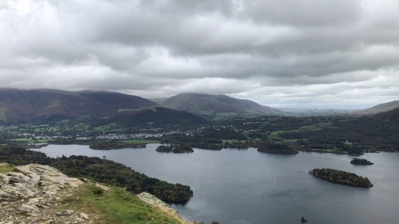
From the summit, continue straight on, following the clear path. There are a few hands-on scrambles before the path bears right and climbs across rocky terrain.
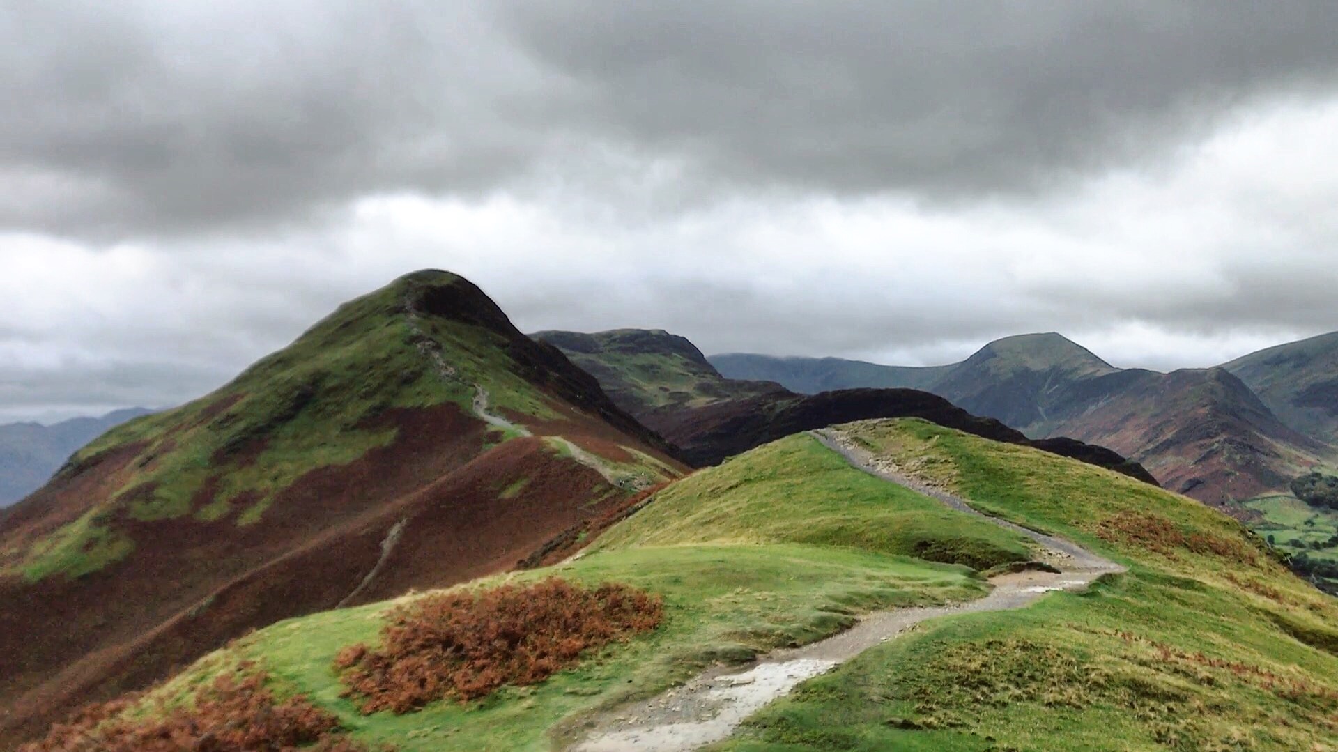
The path levels out at Maiden Moor and then turns left to cross the moorland.
Eventually the path climbs the hillside and bears right to High Spy summit, marked with a large cairn. From the summit, continue straight head and then bear slightly right, following the path downhill in a south/south-west direction. The path is often very faint; the goal is to reach the river just before Dalehead Tarn.
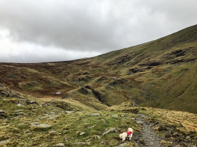
Use the small stepping stones to cross the river and, keeping the tarn on the left, follow the footpath around the north-east shore of the tarn. After a flat, boggy area, follow the stone steps to climb the hillside. At the junction, turn left and continue to Dale Head summit cairn, with great views across the Newlands valley.
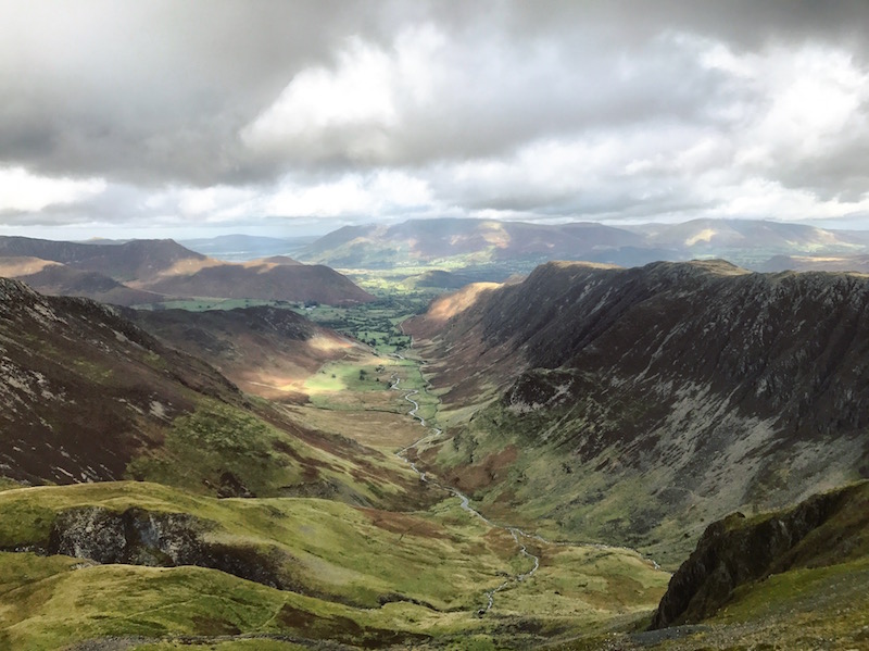
From the summit cairn, continue straight on, heading west along the ridge.
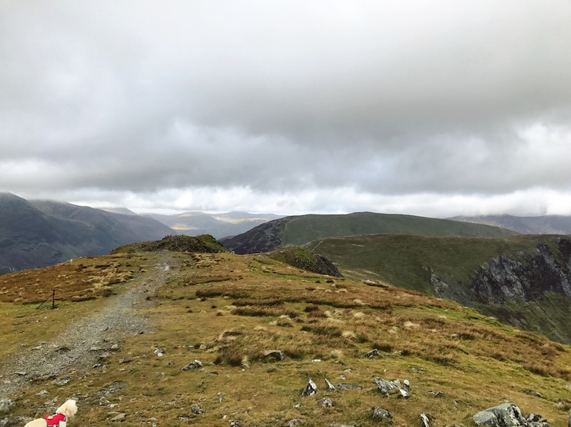
The path drops down and hugs the edge of the cliff before bearing slightly right and following a fence line to climb to Robinson.
Turn right when the path reaches the flat summit.
The wide gravel path passes a stone semi-circle shelter, with spectacular views of Crummock Water to the left.
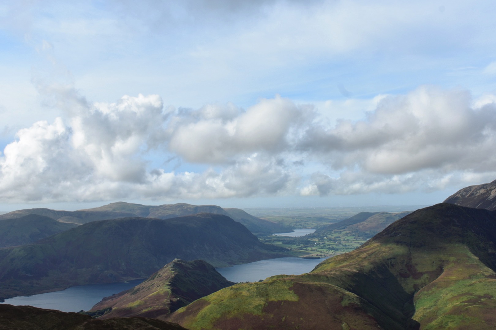
Continue across the moorland towards Blea Crags, ignoring any forks to the right. The path becomes increasingly rocky and there are a few mild scrambles.
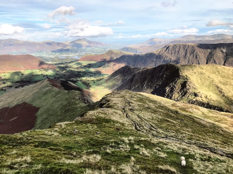
After a steep scramble down to Blea Crags (approximately one mile from Robinson summit), the path levels out on a small grassy saddle. Do not continue straight on. Instead, turn sharp right and follow a faint grassy path between banks of scree. The short, steep path, which isn't marked on OS Maps, has worn footholds and leads directly down to the dam at the base of the valley.
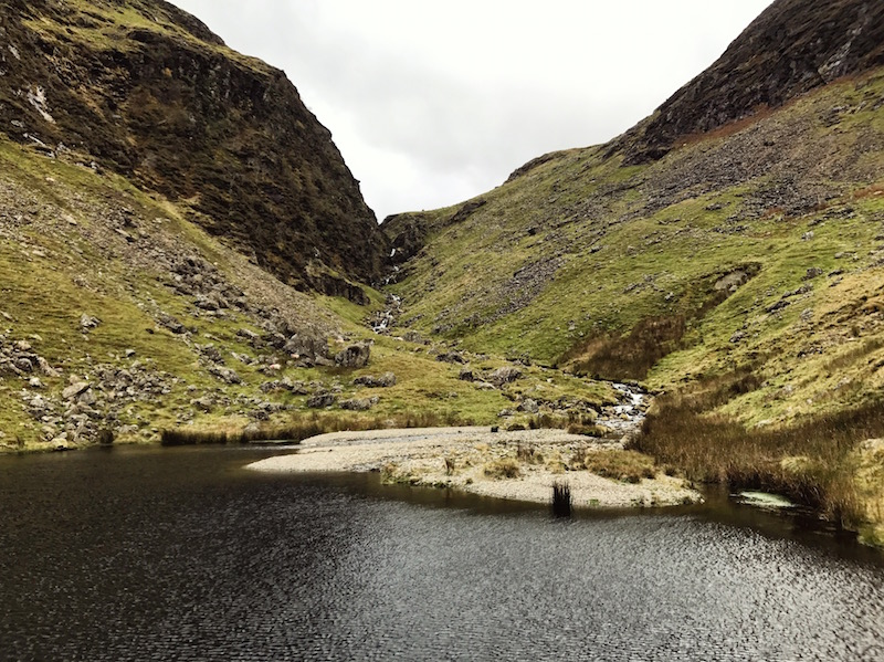
At the edge of the dam, turn left, keeping the river on the right and follow the grassy path through the bracken. The path widens and reaches the corner of a field with a dry stone wall.
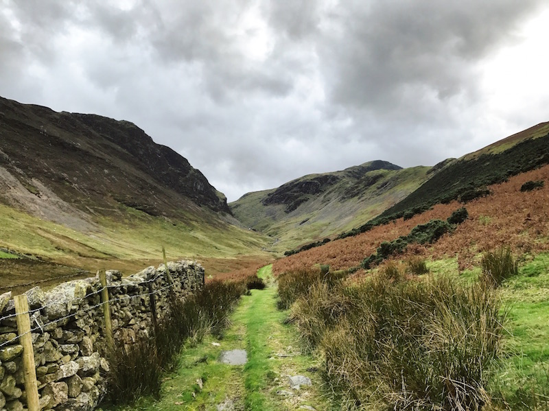
Continue along the path, with the stone wall on the right. The path eventually reaches a road. Follow the road downhill and past Newlands Church.
At the junction, turn right. The road crosses the river and bears left uphill to Little Town. Continue following the road through Little Town. As the road leaves the hamlet and begins to bear left, take the footpath on the right to Skelgill, marked with a wooden footpath sign.
The path is approximately one mile and crosses farming fields to reach a metal gate, leading to a narrow lane. Go through the gate, turn right and then almost immediately left. Continue along the lane past the base of Cat Bells to reach the cattle grid. Cross the cattle grid and retrace your steps to the parking lay-by.