The Langdale Valley is one of the most popular hiking areas in the Lake District. This route, which climbs to Stickle Tarn and on to Harrison Stickle, has breathtaking views across the Langdale Pikes, Windermere and out to the coast. The path continues to the distinctive Pike of Stickle before joining the Cambria Way to climb down the valley.
Start and End Location: National Trust car park on the B5343, a few hundred metres west of the New Dungeon Ghyll.
Start Postcode: LA22 9JX, approx. only.
Distance: 11.5km
Time: 3-4 hours
Facilities: Public toilets in the car park
GPX Download: Link below map
Grade: Medium Mountain Walk, with a few mild scrambles.
Take the footpath at the far end of the car park, to the left of the toilet block. Go through the wooden gate and follow the path to climb alongside the river.
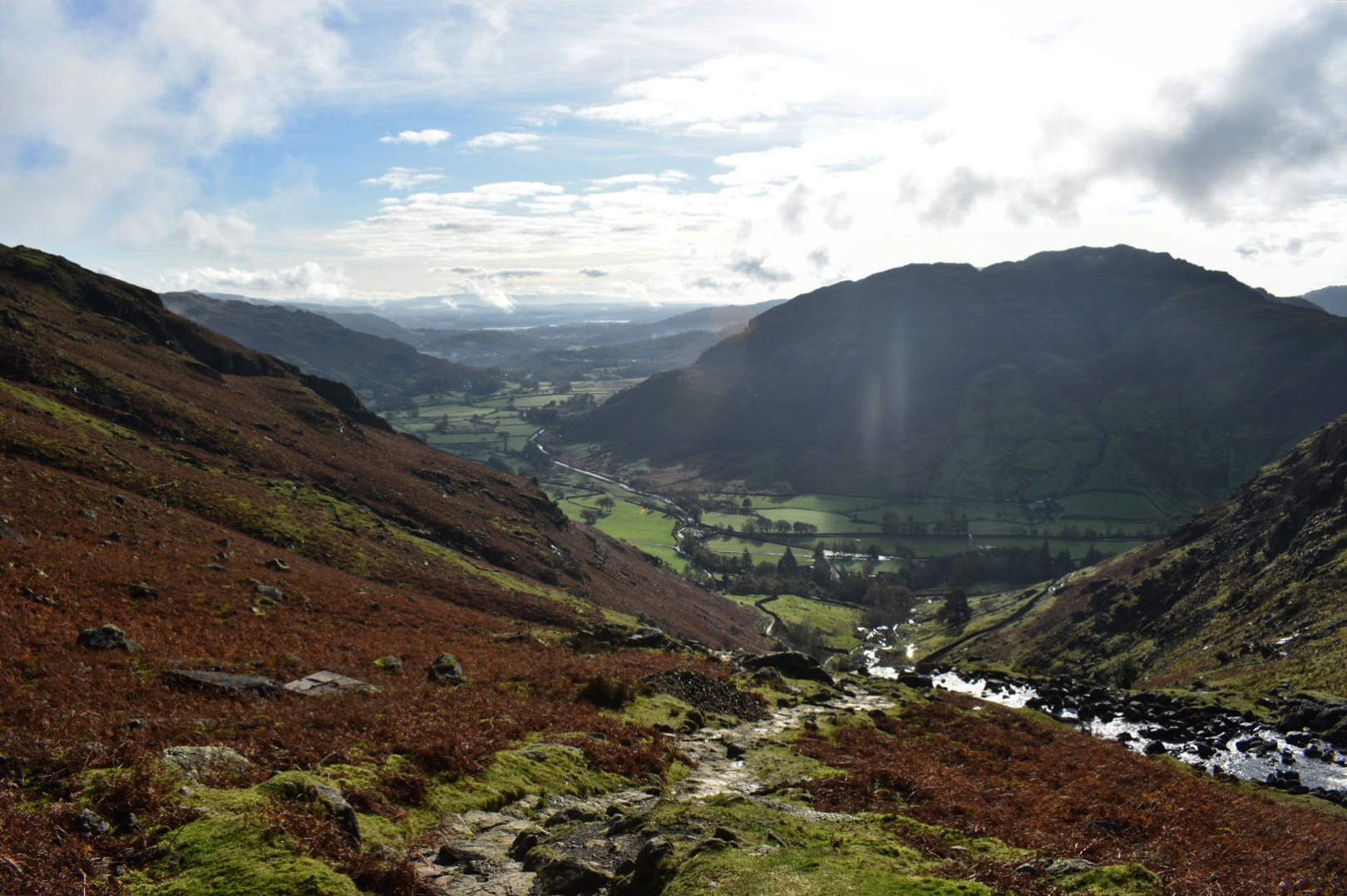
Cross the wooden bridge and continue on the well-defined stone path, with the river now on the left. The path climbs steeply and crosses the river a few times before reaching Stickle Tarn, with Pavey Ark directly ahead.
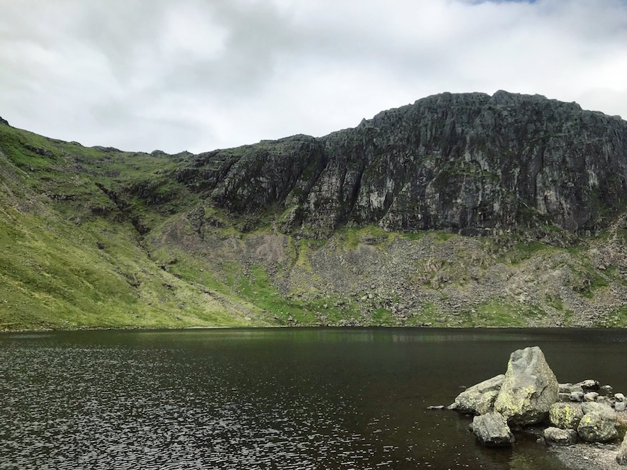
Turn right at the edge of the tarn and use the stepping stones to cross the stream. Follow the path as it bears left around the shoreline. At the fork, keep left and cross the moorland. Use the stepping stones to cross the river. After approximately 100 metres, the footpath bears left up a steep, rocky path to Pavey Ark summit.
The views down to Stickle Tarn are superb.
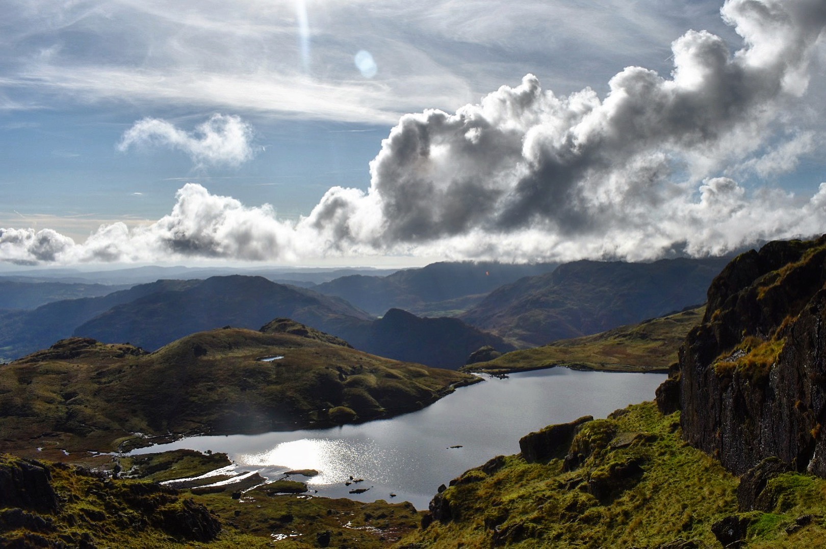
From the summit, continue on the main path as it bears left.
The path, faint in places but marked with low cairns, continues south to reach Harrison Stickle, with views across Windermere.
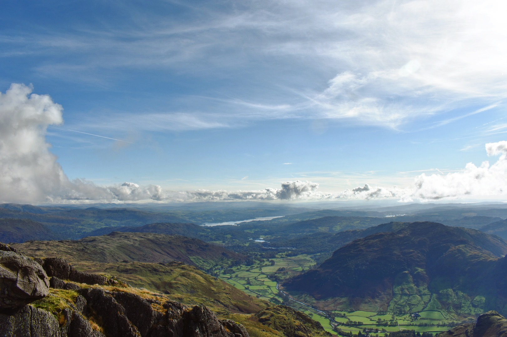
From the summit of Harrison Stickle, head west, following the grassy path as it drops down across the moorland. The path bears left and joins a more defined stone footpath to Pike of Stickle.
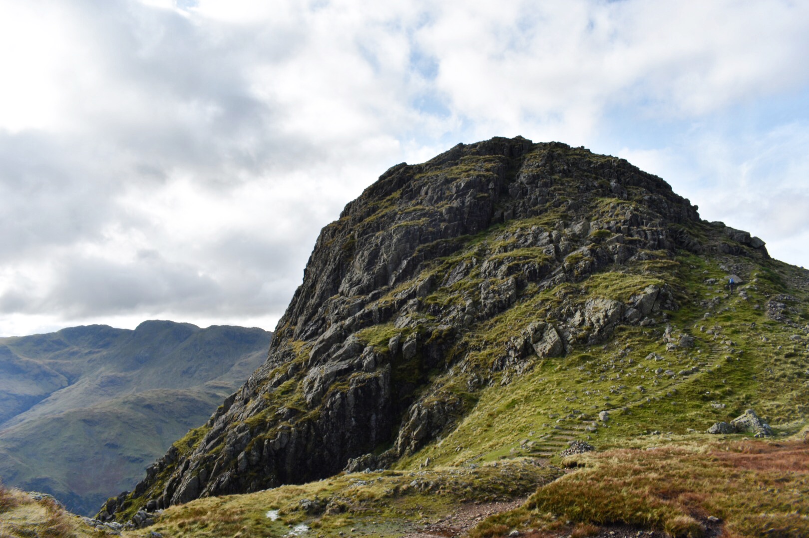
Just before the path turns left to scramble to the summit of Pike of Stickle, turn right and head north-west across Martcrag Moor.
Keep left at the fork to reach the four-way junction, where the path meets the Cumbria Way. Turn left and follow the Cumbria Way alongside Stake Gill to reach the base of the valley.
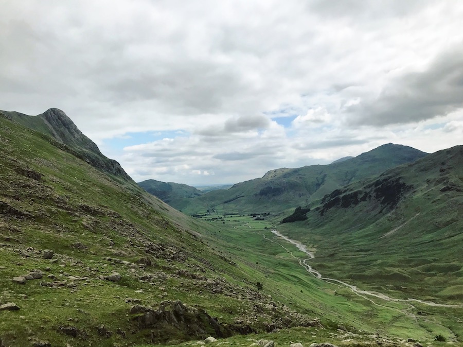
Turn left to cross the footbridge and continue on the Cumbria Way for approximately 3.5 miles to return to the car park.
