Rather unfairly Mellbreak is often forgotten about, perhaps because it looks so foreboding from a distance. This means, as well as offering stunning views across Crummock Water and Buttermere, the route is in a quiet corner of the Lake District.
Start and End Location: Lay-by parking just past the Kirkstile Inn in Loweswater. Continue south from the Kirkstile Inn. Turn right at the fork and cross the bridge. There is free parking on the right.
Start Postcode: CA13 0RU, approx.
Distance: 10km
Time: 3-3.5 hours
Facilities: Kirkstile Inn
GPX Download: Link below map
Grade: Medium Mountain Walk.
From the parking lay-by, continue along the road, heading south. As the road climbs and bears left, Mellbreak looms in the distance.
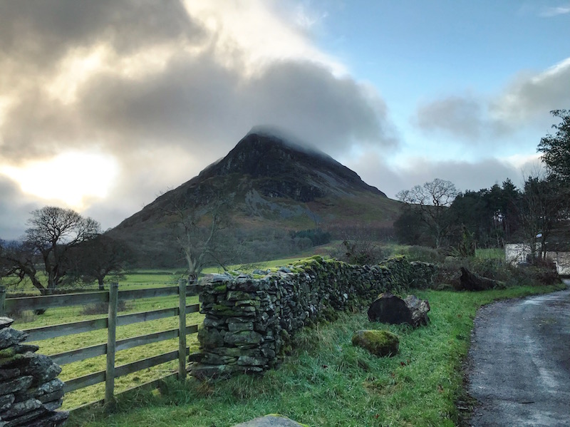
The road passes through a farm and merges with a gravel track. Continue until the track ends at a large wooden gate.
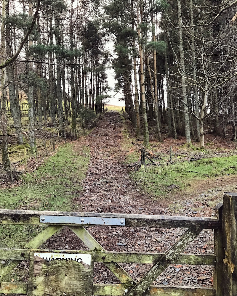
Go through the gate and follow the path straight ahead between the trees. The footpath becomes grassy and climbs through the bracken. Take the first right hand path, heading south/ south-east. The wide grassy path becomes fainter and crosses areas of loose scree, with Mosedale Beck weaving through the valley below.
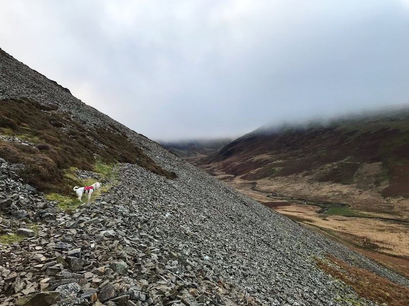
The footpath eventually meets a wider path, climbing from the valley floor. Turn sharp left and follow the wider path steeply uphill.
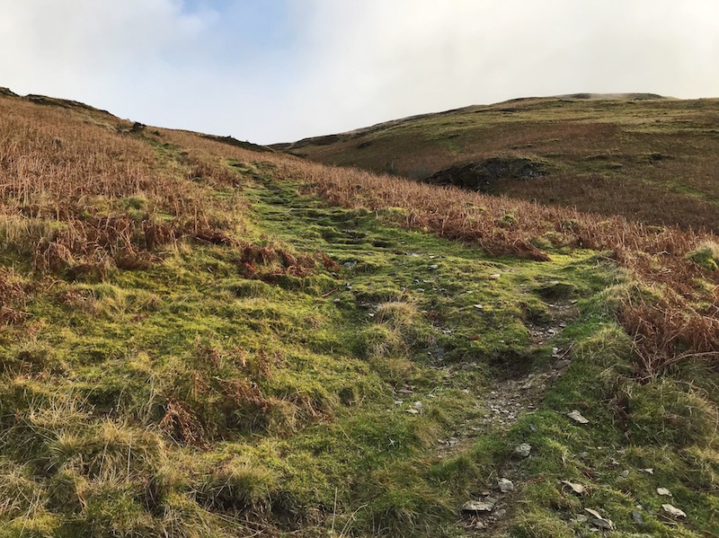
The path levels out and reaches a junction. Turn right and follow the grassy, and often boggy, path as it weaves across the moorland. The path eventually approaches the small summit cairn.
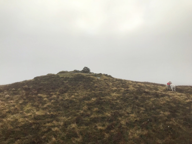
Keeping the cairn on the left, continue straight on towards Scale Knott, ignoring any forks on the right. Crummock Water and Buttermere soon come into view.
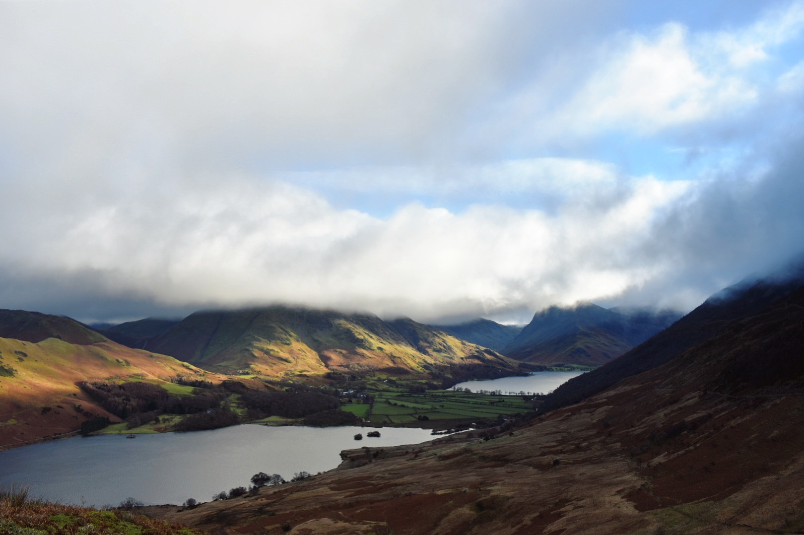
Follow the footpath downhill to eventually reach a junction. Go straight ahead and continue to a fence. Step over the fence and follow the well defined path downhill. The path bears left and reaches a fork. Take the left hand fork and continue downhill towards a stream and wooden bridge.
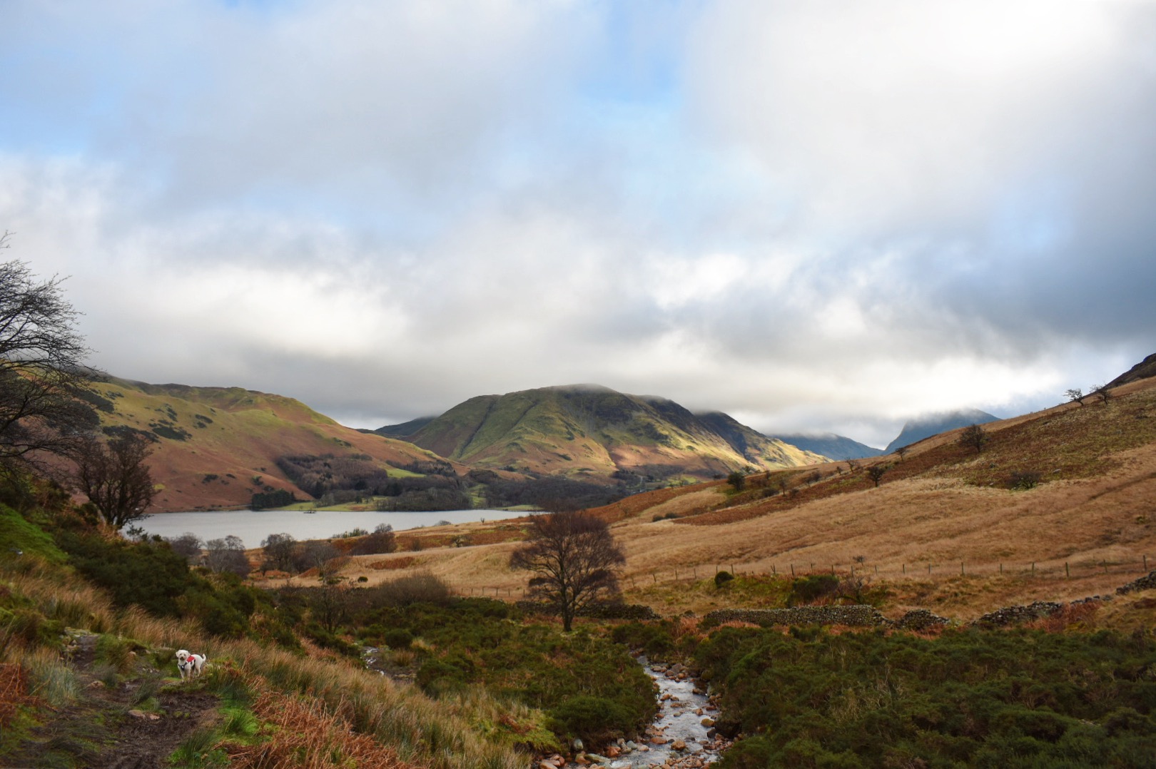
Do not cross the bridge. Instead, keeping the stream on the right, follow the rocky path. Ignore the next wooden bridge and continue straight on. At the third wooden bridge, bear left, away from the bridge. The boggy path soon becomes more defined. Ignore any paths on the left and follow Crummock Water shoreline for just under 1.5 miles.
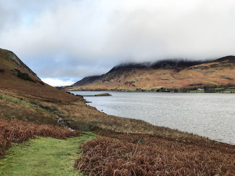
As the path approaches the northern end of the lake, turn left at the fork. The path climbs away from the shoreline and towards a dry stone wall. Go left at the next fork and follow the grassy footpath into the woods.
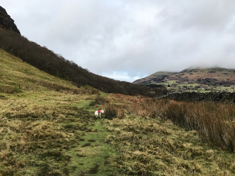
The grassy path leads to a wooden gate. Go through the gate and follow the wide track past the cottage to meet the road. Turn left at the road and continue to the junction just below the Kirkstile Inn. Turn left to cross the bridge and return to the parking lay-by.
