This linear hike is part of the Via Alpina, a route which runs across Switzerland between Sargans and Montreux. The central section of the route, from Engelberg to Mürren, is one of the most scenic. Further sections of Via Alpina can be found in the Swiss Hiking Routes.
Start Location: Engelberg
End Location: Meiringen
Distance: 14-31km
Time: 7-15 hours walking time, depending on whether transportation options are used
Facilities: Toilets and restaurants at cable car stations
GPX Download: Link below map.
Grade: Medium Mountain Walk with a few steep ascents and narrow ridges.
The route can be split into two days with an overnight stop at Engstlenalp. However, by taking a few cable cars and/or a bus, the hike can easily be completed in one day.
From Engelberg train station, head south and cross the river.
If you are planning to walk the entire route, turn left and continue 200-300 metres before turning right to Hotel Banklialp. Follow the signposted footpath up through the woods, across open fields, past Gerschnialp and steeply uphill to reach Trübsee.
Alternatively, the recommended route is to take the cable car to Trübsee. After crossing the river, turn right and continue along the road to reach Titlis station.
Take the cable car to Trübsee. If you have a dog with you, dogs can ride the cable car for free.

From Trübsee station, bear right and continue downhill to the lake. Follow the wide gravel track along the edge of the lake for approx. 200 metres. Take the footpath on the left.
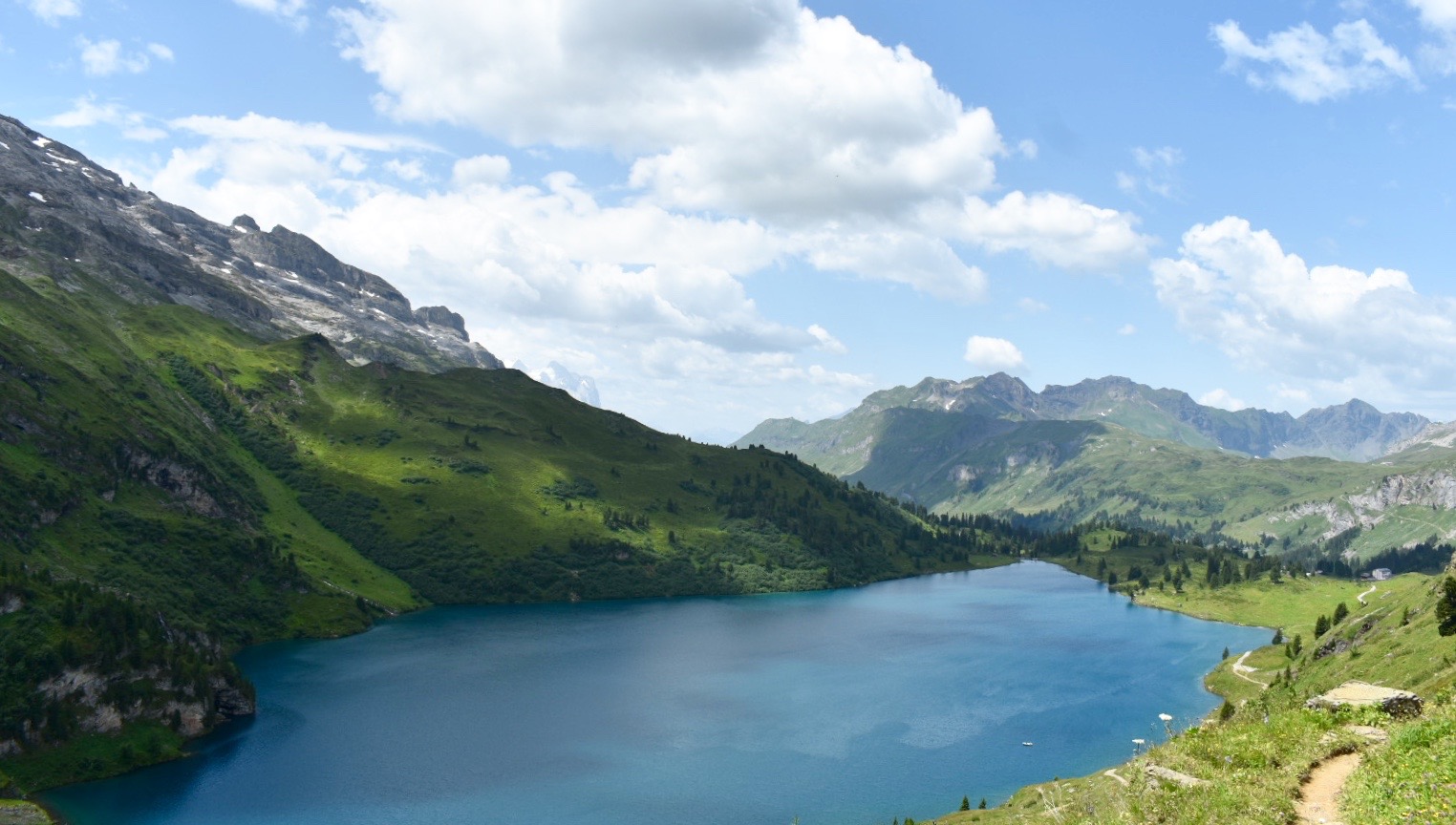
Continue following the footpath for just over a mile as it zigzags steeply to reach Jochpass, with views back across the lake.

From Jochpass, continue straight towards the Engstlensee-Jochpass chairlift station. Take the footpath to the right of the building. Ignore the fork on the right and continue downhill.

Soon Engstlense lake comes into view. The path follows the left side of the lake and leads directly into Engstlenalp.

From Engstlenalp, there are various routes to Meiringen.
Option 1: 1-2 hour easy hike and a 40 minute bus ride. This route is advised in poor weather.
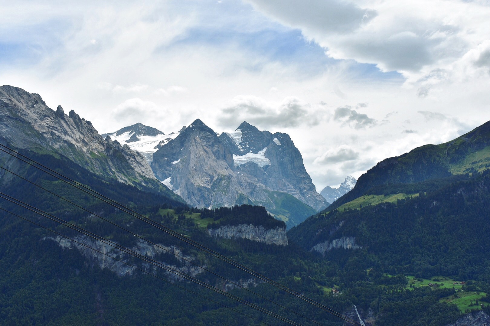
Cross the road opposite Engstlenalp bus station and take the footpath on the left into a field. Follow the path as it zigzags downhill through woodland, ignoring any paths off to the side. After crossing open fields and passing alpine huts, this spectacular valley comes into view…

Keeping the river on the right, follow the path along the base of the valley to a large wooden bridge. Cross the bridge and head upwards towards the road and Schwarzental. The bus stop is outside Restaurant Schwarzental. Bus timetables can be found here.
If the weather is particularly brutal, there is a direct bus from Engstlenalp to Meiringen, which takes 50 minutes.
Option 2: Continue along the Via Alpina.
From outside Hotel Engstlenalp, take the path heading right, signposted to Hasliberg. Continue along the wide gravel track heading north/north-west. Go right at the fork, heading upwards and continue as the path drops down to Tannensee.
When the path reaches the edge of Tannensee lake, take the left fork, and follow the south-east shore of the lake, heading towards Planplatten.

The path joins a wider track and continues along the ridge to Planplatten, with stunning views of the mountain range, including the Bernese Alps to the south-west.
From Planplatten, the rest of the journey can be done via gondola (Planplatten-Magisalp-Reuti- Meiringen) from the Alpen Tower station.
To continue on foot, follow the ridge past the station and take the right hand path, signposted to Reuti. The path is very well signed from here. Keep following signs for Reuti and/or the Via Alpina 1.

Eventually, the path meets a road, zigzags across the road twice and heads downhill into Reuti.
From Reuti, a cable car be taken to Meiringen. To continue on foot, the path begins to the left of Reuti cable car station and climbs down through the forest to Meiringen.