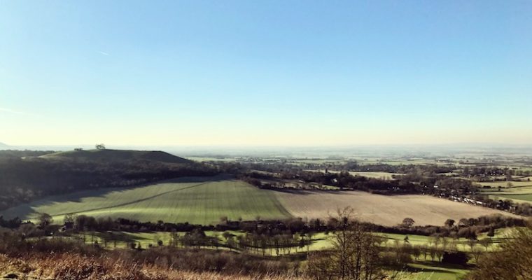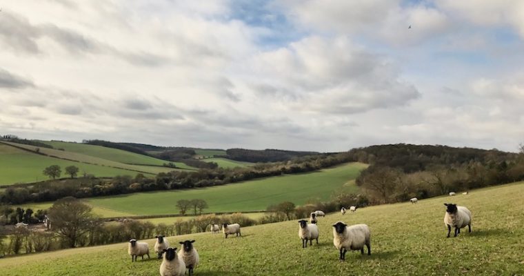
The Chilterns: West Wycombe Circuit
Climbing past the Dashwood Mausoleum and Church of St.Lawrence (rumoured to be a meeting place for the Hellfire Club), the route weaves through woodlands and farming fields. Start and End Location: Car park behind West Wycombe School on Church Lane. NB: This car park is […]